Off-road trails
This page is being edited.
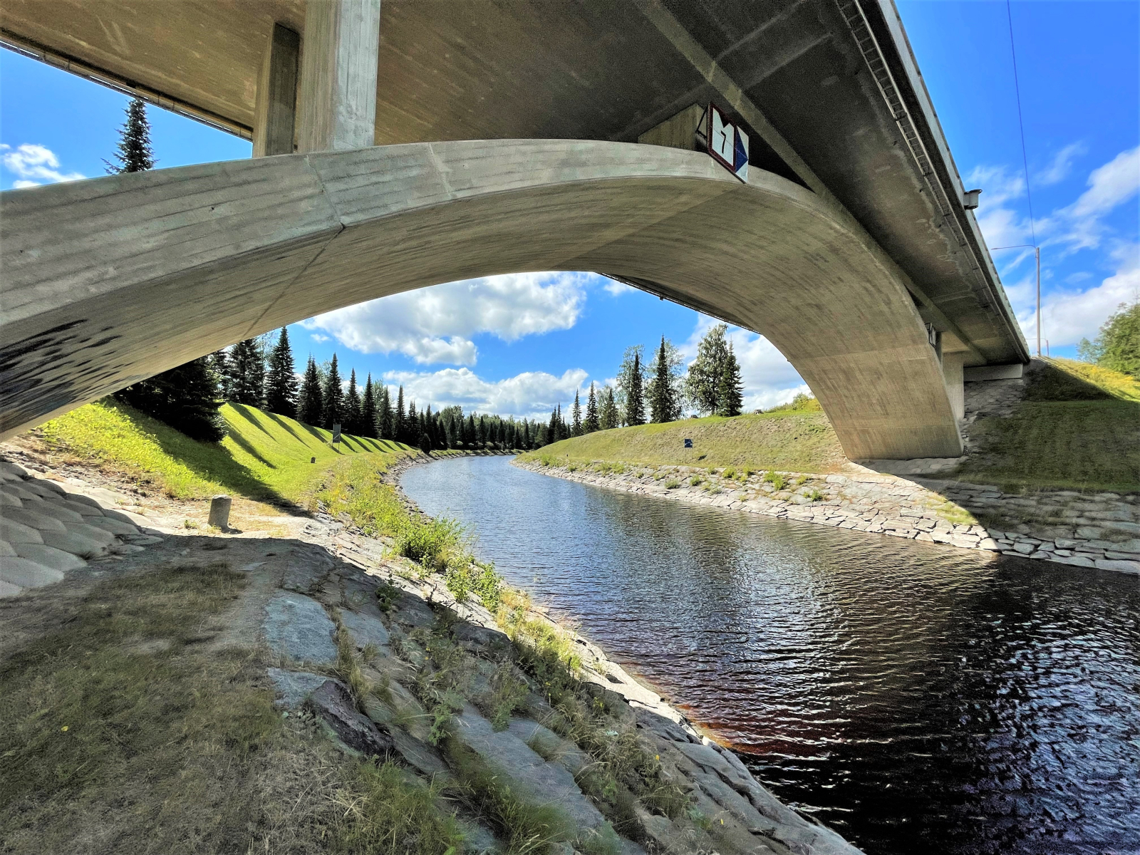
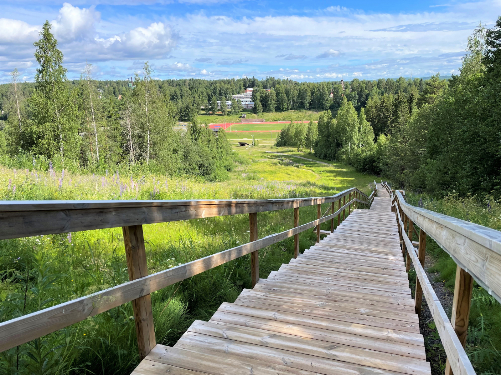
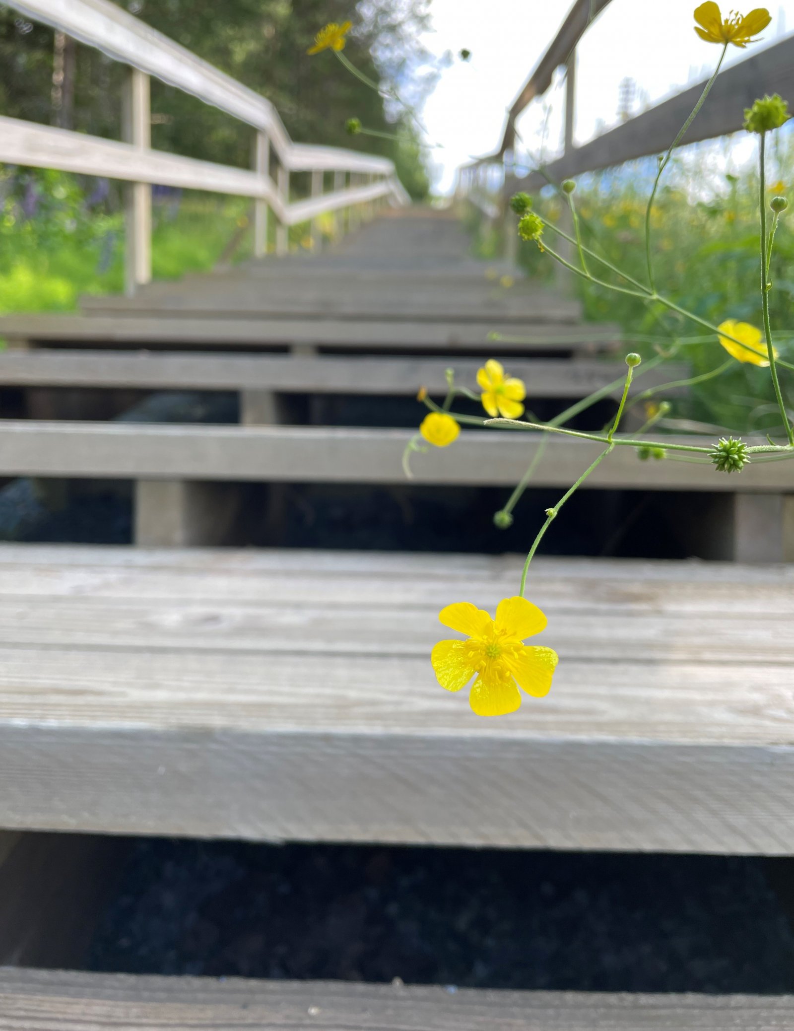
The off-road trail is intended for outdoor walking and mountain biking when there is no snow. The trail has an indicative direction of travel and the trail markings are set accordingly. However, be aware that there may be oncoming traffic on the trail. Dogs must be kept on a leash.Route direction signs and the markings on the trees are in blue.
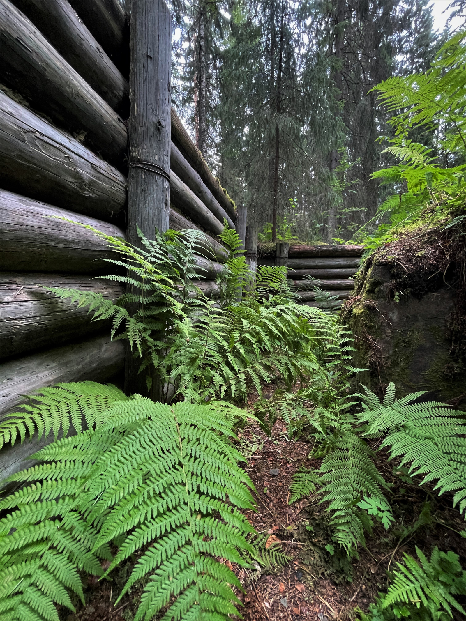
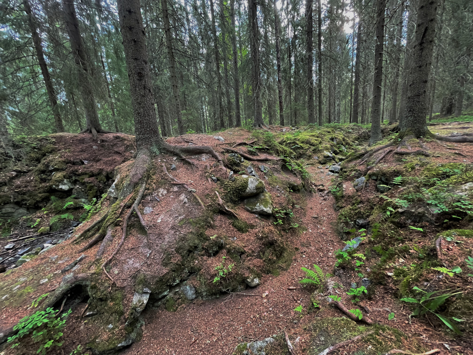
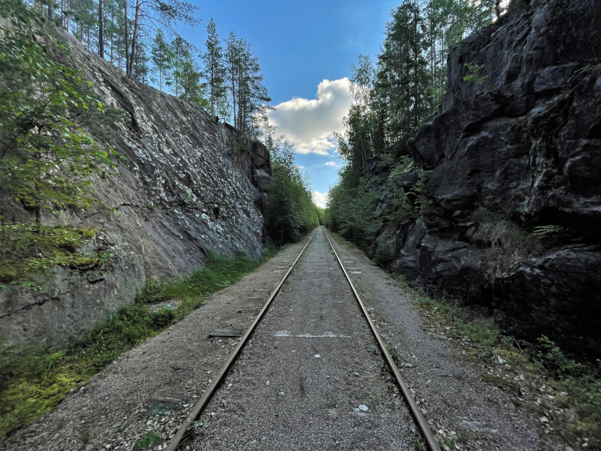
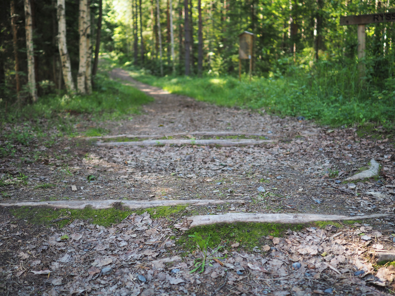
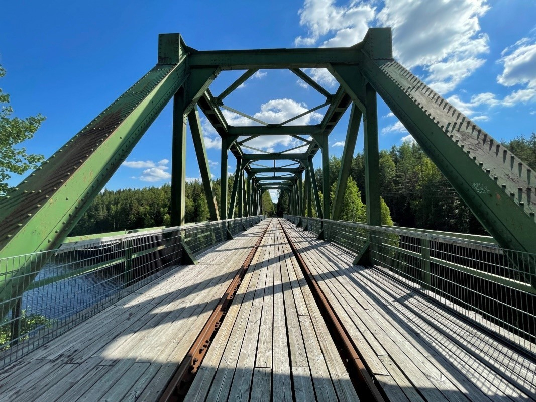
The trail mainly includes off-road paths, forest roads, paths next to railroad tracks, and transitions on pavements and streets. There are also main road crossings on the trail, so use caution.The terrain is very varied in terms of difficulty. The trail contains a few very challenging sections due to the steepness of the trail. Travel the trail at your own risk. Please note that there are roots, rocks and tree trunks on the path sections, which may be slippery when wet. The trail is available when there is no snow, as there is no winter maintenance.The route also includes two technical tracks, in the sports park (Urheilukuja 1) and Marttinen (Herrasentie 16), where you can practice mountain biking skills.
The maintenance of the trail is the responsibility of the Town of Virrat, tel. +358 3 485 111

 Rajaniemi
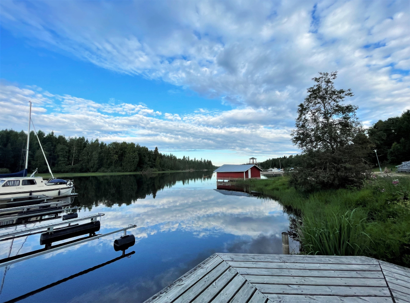
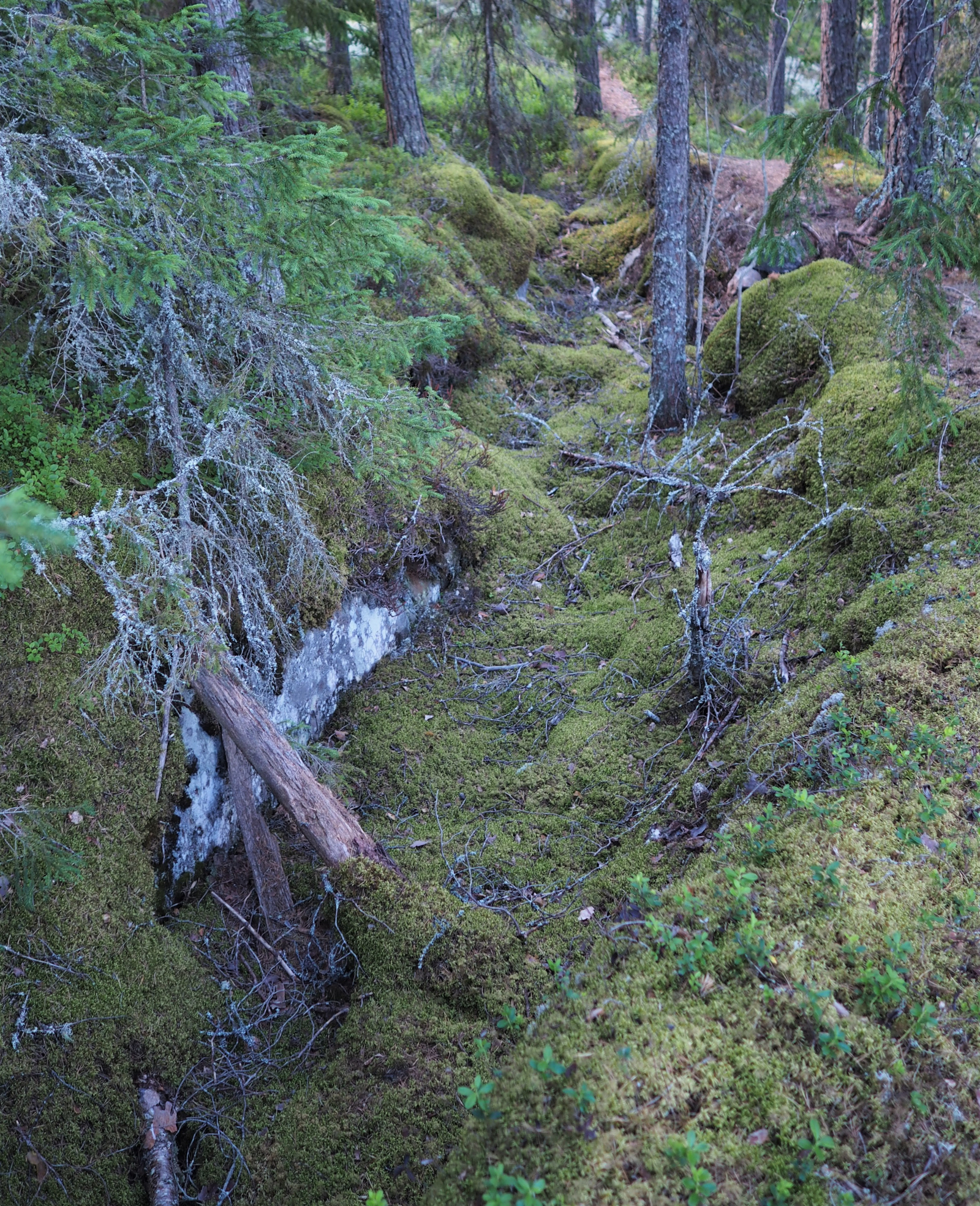
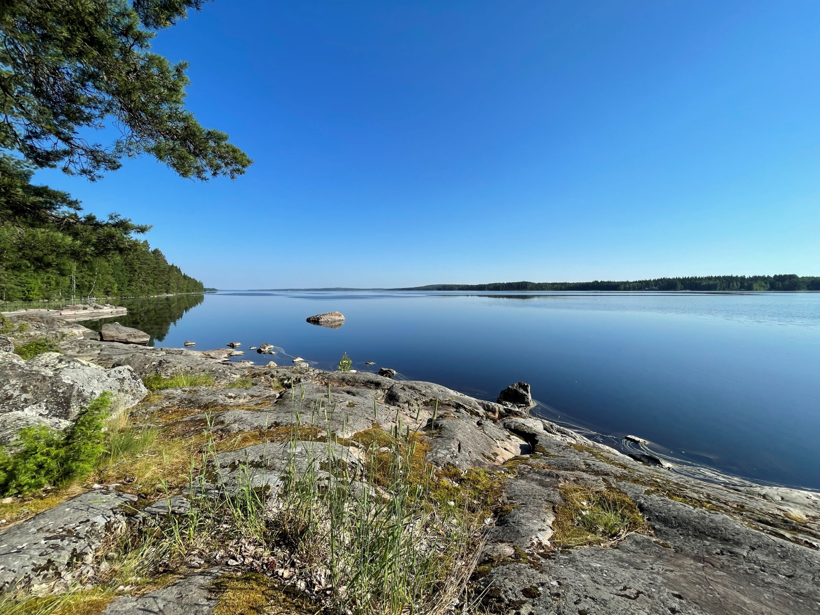
There are plenty of smaller trails suitable for mountain biking on the Puttosharju ridge and the surrounding terrain. The ridge area is actively used for outdoor recreation. Puttosharju was formed at the end of the last ice age, at the bottom of a river that flowed within a melting glacier. There were glacial rivers running inside the glacier, with the flowing water carrying a variety of soil materials. At the mouth of the glacier river, the soil materials sank to the bottom and began to form long ridges as the glacier retreated.
Puttosharju is an important groundwater basin. Groundwater from the ridge area is used as domestic water in Virrat. Groundwater is water that is absorbed into the soil from rain and melting snow. On ridges, these pass through a thick layer of gravel, which filters them very efficiently.
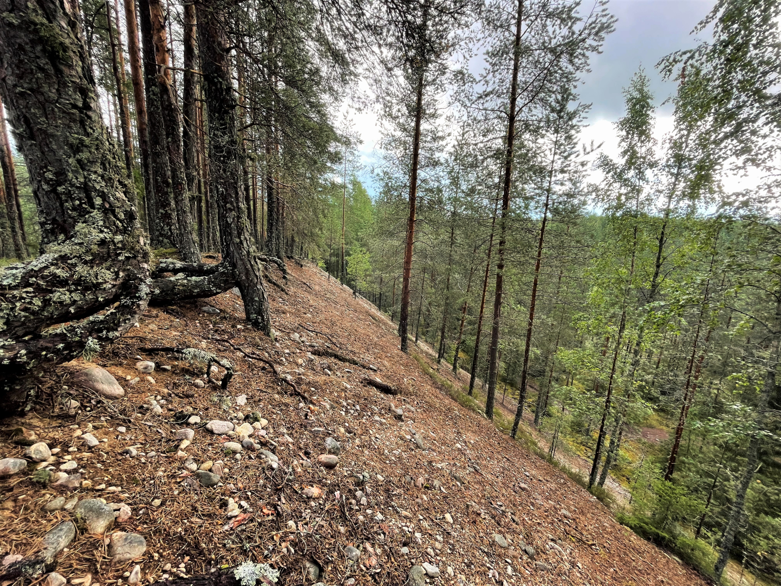
The ridge formation is clearly visible in nature
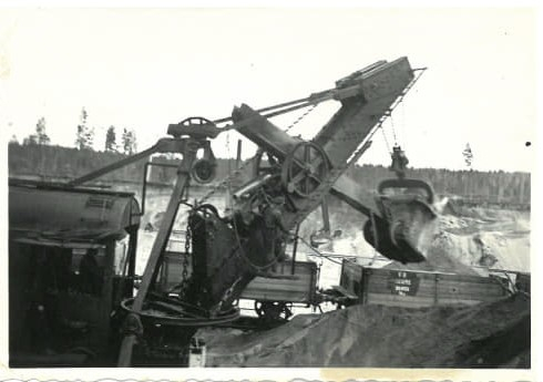
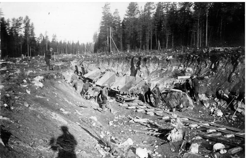
A lot of gravel was taken from the ridge from 1937 to 38 for the construction of the Haapamäki-Pori railway line.
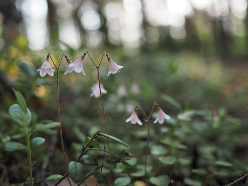
The ridge forest is partly lush woodland, which is typical on the fine weathering material of the ridge slopes. For the most part, however, the Puttosharju forest is more conventional, recreationally-managed peaty forest. The ridge area is also home to the protected lesser butterfly-orchid (Platanthera bifolia) and the endangered mountain everlasting (Antennaria dioica). From the top of Puttosharju, there is a splendid view towards the north.
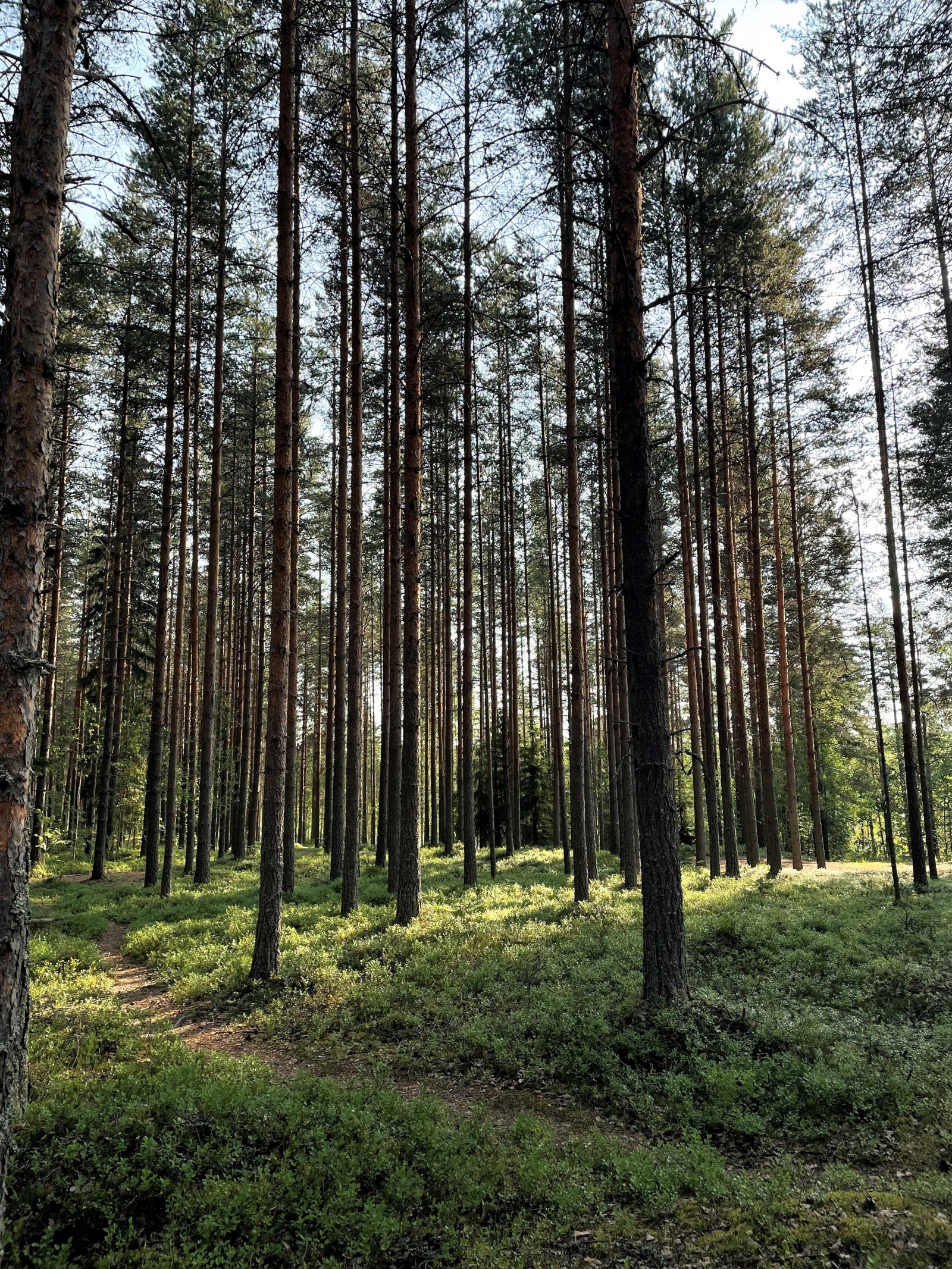
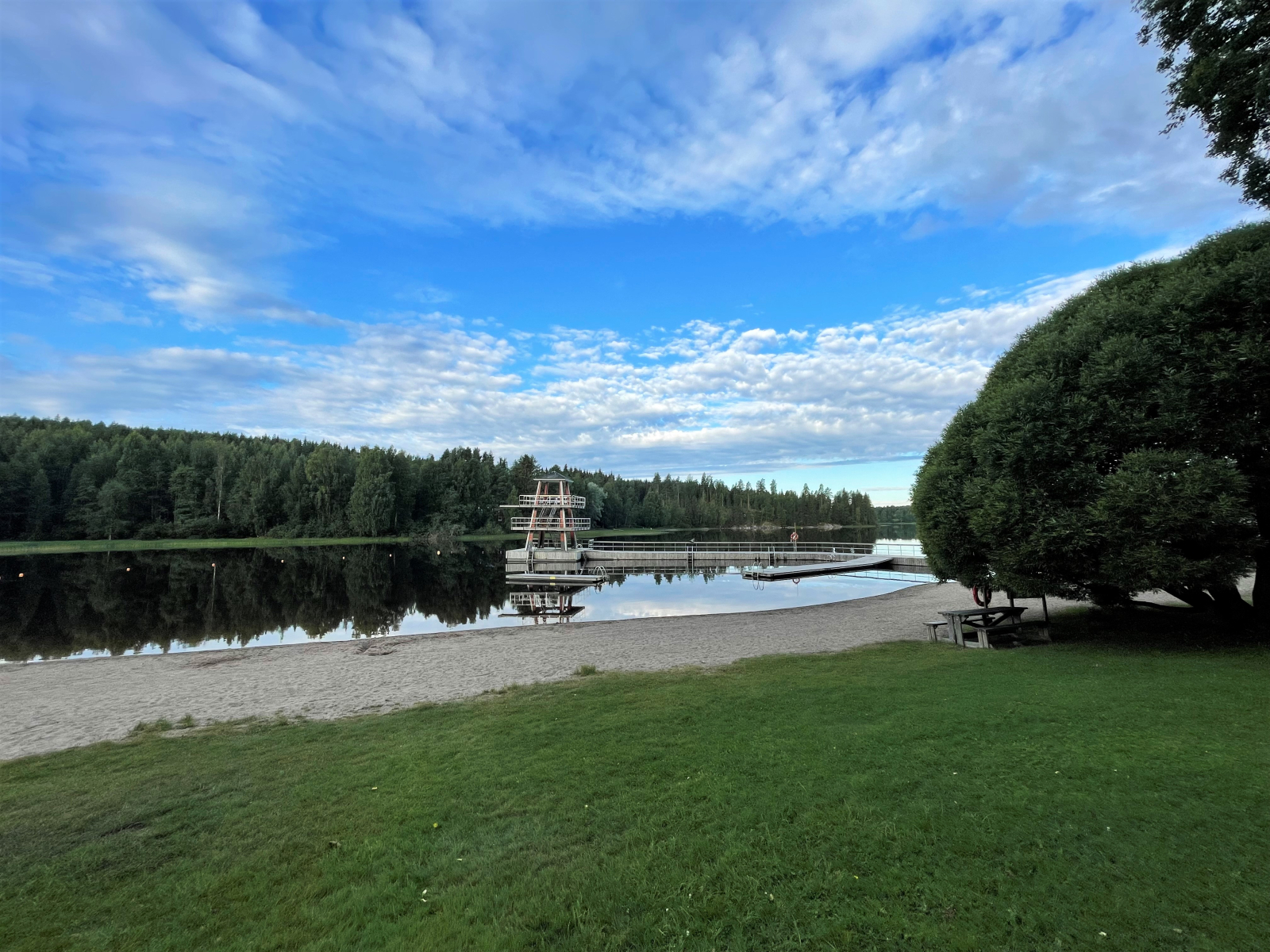
Several jogging paths cross the Puttosharju ridge