Off-road trails
This page is being edited.
The off-road trail is intended for outdoor walking and mountain biking when there is no snow. The trail has an indicative direction of travel and the trail markings are set accordingly. However, be aware that there may be oncoming traffic on the trail. Dogs must be kept on a leash.Route direction signs and the markings on the trees are in blue.
The trail mainly includes off-road paths, forest roads, paths next to railroad tracks, and transitions on pavements and streets. There are also main road crossings on the trail, so use caution.The terrain is very varied in terms of difficulty. The trail contains a few very challenging sections due to the steepness of the trail. Travel the trail at your own risk. Please note that there are roots, rocks and tree trunks on the path sections, which may be slippery when wet. The trail is available when there is no snow, as there is no winter maintenance.The route also includes two technical tracks, in the sports park (Urheilukuja 1) and Marttinen (Herrasentie 16), where you can practice mountain biking skills.
The maintenance of the trail is the responsibility of the Town of Virrat, tel. +358 3 485 111
Marttinen vicarage
The Marttinen house was confirmed as the vicarage of Virrat already in 1696. The house was destroyed in the Finnish War, but the assistant vicar at the time, Karl Fredrik Långhjelm, restored the house at his own expense. In 1823, however, an imperial decree came down, according to which the Marttinen vicarage had to be rebuilt. All the houses in Virrat had to participate in the construction of the main building. The vicarage was completed in 1825 and 1826. The house remained in use until the 1890s.
In 1864, Karl Gustaf Törnqvist's ministry as assistant vicar was in its infancy. He had been elected temporary assistant vicar until Virrat would become an independent parish. This could only be announced after the death of the then vicar of Ruovesi. Time passed and eventually Törnqvist's "temporary" post became a 30-year one. During this period, no major renovations were made to the Marttinen vicarage, as a new vicarage would soon have had to be built when the vicar took office. The old one became badly dilapidated during this wait.
Karl Gustaf Törnqvist can be regarded as the priest who had the greatest influence on the town and its conditions. As a preacher, he was known to be very temperamental, and, at times, he would get carried away with unnecessarily harsh rebukes. Despite all this, however, he was sure that he would be elected as the first vicar of Virrat.
When the vicar of Ruovesi passed the age of 90, a decision was made to start building a new vicarage in Virrat. The requirements were that the building had to be large and that there would be no compromise on its quality. In addition, a separate living building was to be built in the area, which also housed a laundry room and a bakery. The courtyard was also to include a stable, a stone barn, a granary, a food storehouse and a drying barn. Karl’s own son Onni designed the main building Törnqvist, who later changed his surname to Tarjanne.
In 1891, the secular journey of the vicar of Ruovesi came to an end and it was time for the long-awaited election of the vicar. The election took place just before the final completion of the Marttinen vicarage. The election result was unexpected. Törnqvist was not elected vicar. His overtly harsh criticism of others may have led to his downfall. So he was also unable to live in his long-awaited, brand new and magnificent Marttinen vicarage.
According to the story, Karl became very bitter and when he left he said that he would return. Nowadays, it is said that the windows in the Marttinen vicarage close on their own and, sometimes, you may even hear music playing in the house. Has Karl Gustaf finally made it to his vicarage?
Today, the Marttinen vicarage is one of the youth centre's activity spaces, where various events can be organised.
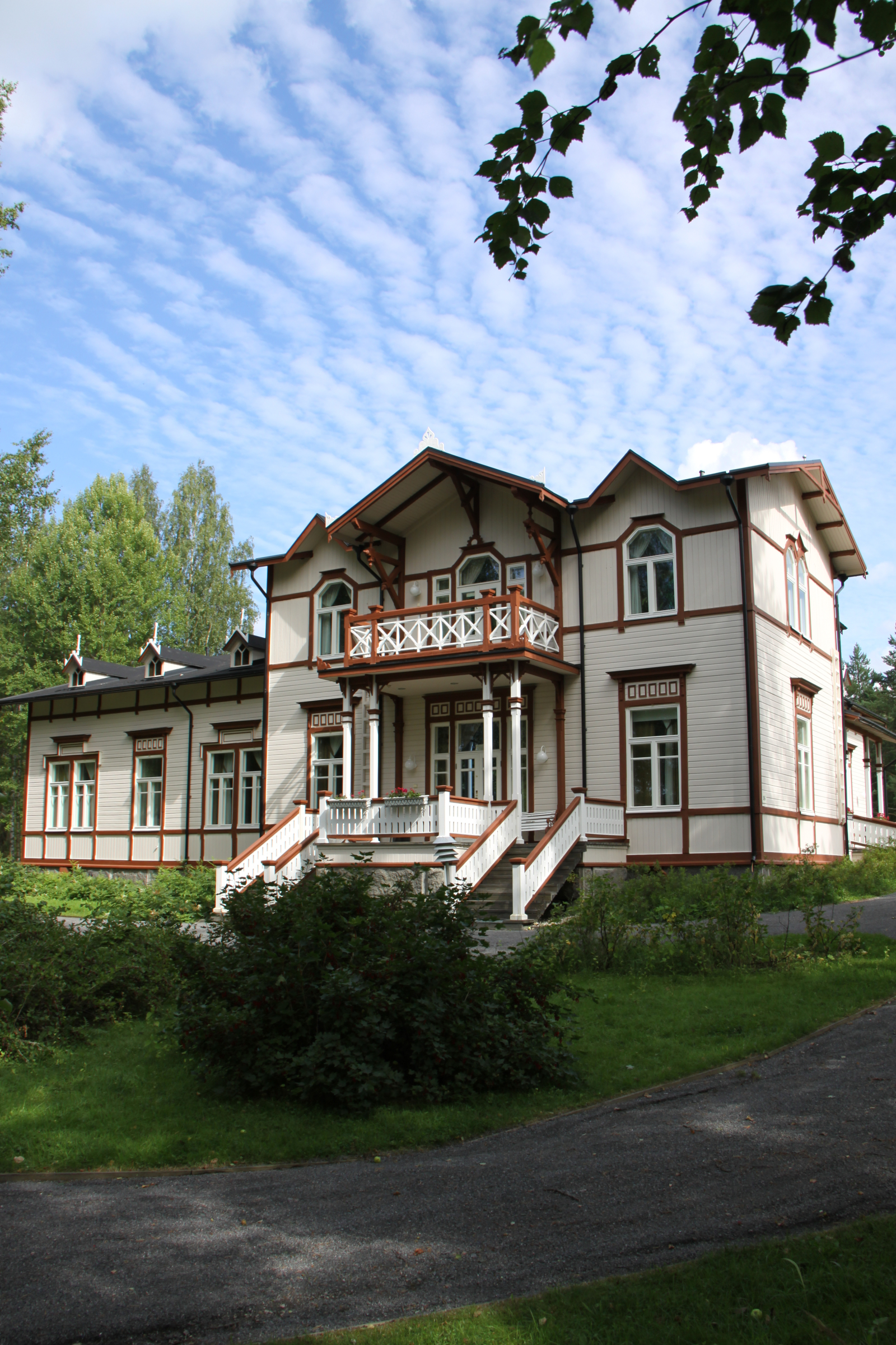
Marttinen vicarage
Rantapappila
Despite its name, Rantapappila (“Lakeside Parsonage”) has never been an actual parsonage, but a large farmstead of the vicar's residence Marttinen. However, there were large fields in Rantapappila and the local farmer had two farmhands and two maids to help him.
There is much less information about Rantapappila than the others, but the farm is mentioned in the oldest surviving parish register of Virrat, which dates back to 1749. It can be assumed that the year of construction of the parsonage predates this.
The story of the hydropowered Makkarakoski mill began in 1889, when Heikki Härkönen and Aapo Jokinen applied for a founding permit for a flour mill from the governor of the Vaasa province. The official permit was granted in Vaasa, then known as Nikolainkaupunki, in the spring of 1891, although the mill building, which was five fathoms long and four fathoms wide, with its 85-foot-long channels, had been ready since the autumn of the year of application. The rapids, beside which the mill was built, flow from Lake Vermasjärvi through Vähä-Vermaa to Marttisenalainen. The river descends about 30 meters throughout its course, making it an ideal location for harnessing hydropower.
In 1910, the mill was purchased by a tanner named Aleksi Tanhua, who worked as a miller for nearly twenty years until his death in 1929. The following 18 years the mill was operated by Tanhua's two eldest sons, Kalle and Antero Tanhua. In 1947, the youngest of the brothers, Simo Tanhua, then 24 years old, took on the responsibility for overseeing the mill's operation. The new miller actively operated the mill until 1955 when the electrification of the city drowe the hydropower-operated miller out of work. Simo Tanhua moved on to work in the wood industry in Virrat, after which the mill was used sporadically for only a few more years.
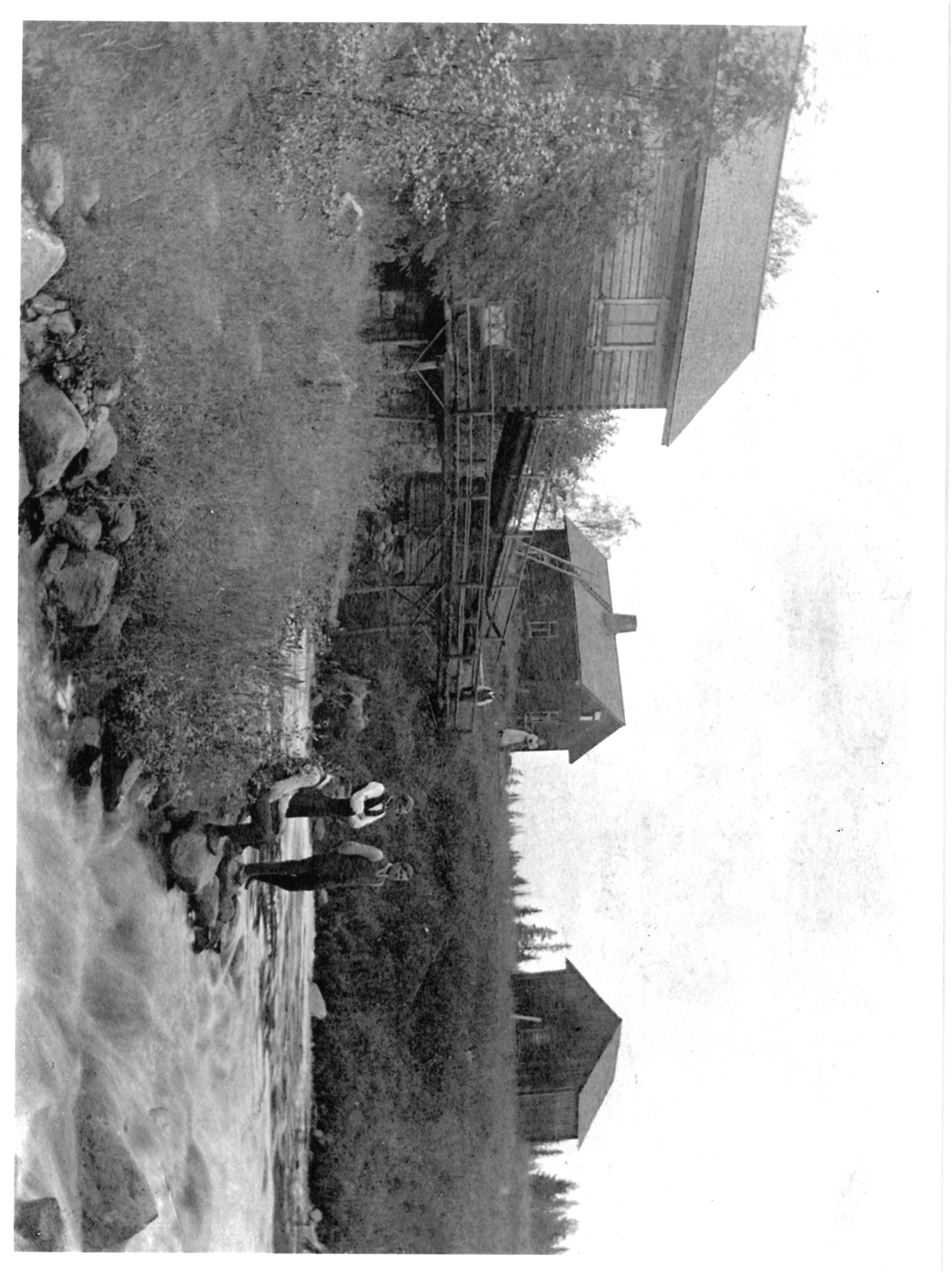
The mill and it's surroundings in 1930s.
When the mill was still in use, loads of grain were brought to the mill for grinding by horse power from the areas of Äijänneva, Herranen, Rantakunta, and even as far as Kurjenkylä. The first load transported by tractor reportedly arrived for in the mid-1950s. Farmers could wait at the miller's home for their sacks of flour to be filled. The miller received his payment either in Finnish Marks or during wartime, as a share of the flour. The price per kilogram was around one Mark for most types of grain, except barley, which needed to be hulled before grinding. The price for a sack of barley turned out to be two Marks per kilogram.
The hydropower was used to turn two millstones and an oat hulling machine located in the same mill building, which prepared oat grains for grinding. The flow of water also powered a shingle planer located upstream and generated electricity in a power station known as the "sähkökoppi (electricity shack)" or for three nearby properties. The mill, along with its grounds, is still owned by the same family and is a popular tourist destination. While entry to the mill building located on private property is not allowed, visitors can admire it and the rapids from the nearby outdoor trail.
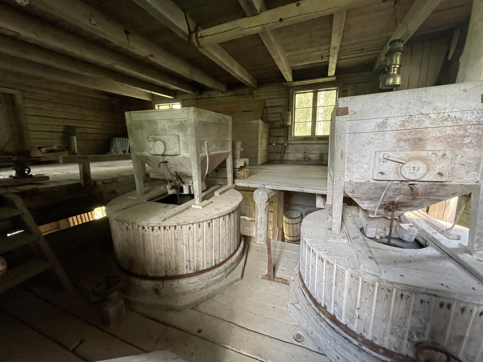
The mill interior
Source: The family album of Pirkko Korhonen
The Tykkitie road, which runs along the eastern side of Keiturinvuori, is a historic section of road that was restored as an artillery road during the First World War. At the beginning of the road there is a wooden plaque with the inscription: "Tykkitie or Ryssäntie. In the summer of 1916, the Russians began field fortifications at Herraskoski. Tykkitie was built as a service road between Kalettomanlahti and Herraskoski. No cannons were ever transported along the road as the fortifications were abandoned after the outbreak of the March Revolution." The road was apparently converted into a corduroy road at some point during the renovation.
A corduroy road is a short stretch of a passageway made of cross-beams, which runs through wet terrain. Before the mid-20th century, corduroy roads were often part of the passageways between villages. There are still some broken wooden road structures, especially at the northern end of the road. The passageway is already visible on a map from the 1840s between the assistant vicar’s official residence and Pappilanranta. However, the history of the houses dates back to the 17th century, so the passageway may date back to that time. The Pirkan Taival hiking trail runs along this Tykkitie.
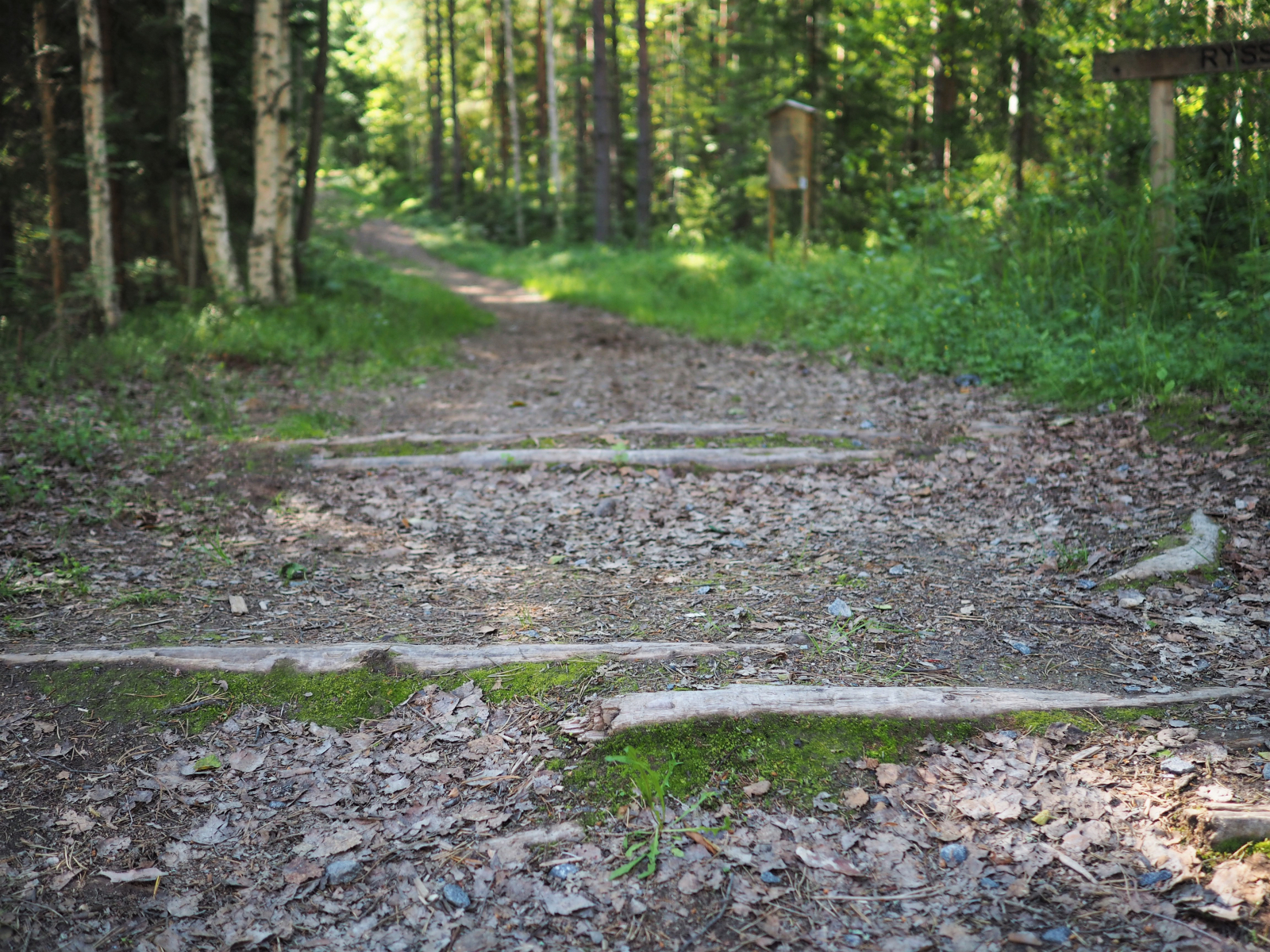
The last visible cross-beams of the corduroy road, location: At the beginning of Tykkitie
About 50 metres northwest from the junction of the old railway line and the forest road are the Kaijanranta battle trenches, an early 20th century relic. Connecting trenches, earthwork and pits included in the fortifications are visible at the bottom of the north-facing slope.
The Keiturinvuori area is alternately rocky and hilly, and a popular area for hiking, berry picking and mushroom picking. In addition to the marked routes, there are also other trails in the area. The path that runs right along the beach is beautiful and varied in its landscape and vegetation. The trail runs along a slope, so it is more difficult to negotiate in places. On the eastern shore of Keiturinsalmi, right next to the marked trail, there are long battle trenches dating back to the First World War.
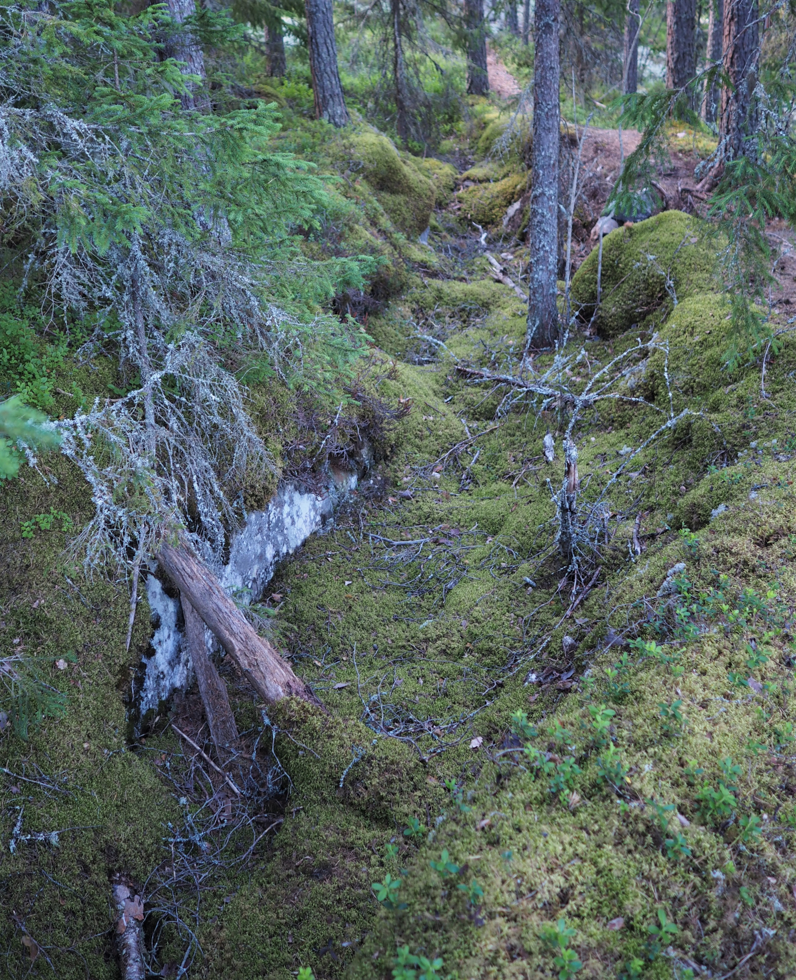
Battle trenches on the shore of Keiturinsalmi
The high-rise bridge over Keiturinsalmi, with its sturdy structure, is visible from Marttinen island. The old railway bridge has been in heavy use for a long time. During the war, the bridge was under constant guard as it was one of the main supply routes to the front. Later, in the 1960s, even Fouga trainer fighters flew under the railway bridge. Also today, the bridge is used extensively, for example, the Pirkan Taival hiking trail passes through it.
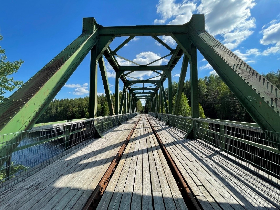
Keiturinsalmi Bridge
The Heinäaho arch bridge is located nearby highway 23, crossing the Asematie road. Between 1938 and 1985, the Haapamäki-Pori railway line, also known as Mierontie, passed by the arch bridge. During the construction of the railway line, the workforce included many unemployed people and prisoners from the Piili auxiliary prison. Prison labour was used for nearly two years. Work was halted during the austerity years of 1930 to 1933, but resumed immediately afterwards. By the mid-1930s, the rails were in place and gravel trains appeared, pulled by a small locomotive called "Pässi” (“Ram”). In addition, a wheel loader, known as "Hullu-Jussi” (“Crazy Jussi”), was placed on the train tracks at the time. The Haapamäki-Pori railway was opened on 12 November 1938. The railway was in use for more than 50 years.
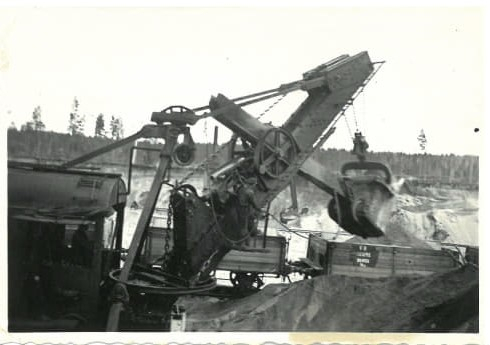
"Crazy Jussi"
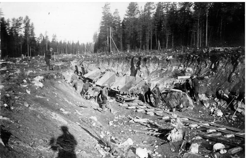
A gravel train assisting with railway work
The section from Haapamäki to Pori was closed in 1985. The parts of the track that are still in good condition are used for handcar trips. Handcar trips in Virrat are organised by the Marttinen Youth Centre. The original Heinäaho steel bridge with its rails was removed in 2003 and the current arch bridge was built during the same year.
Behind highway 23, there is a rest area and boat launch site that is known locally as Kutukiemura. Kutukiemura offers a magnificent view of the open Toisvesi Lake. At its deepest point, Toisvesi is 85 metres deep, making it the fifth deepest lake in Finland.
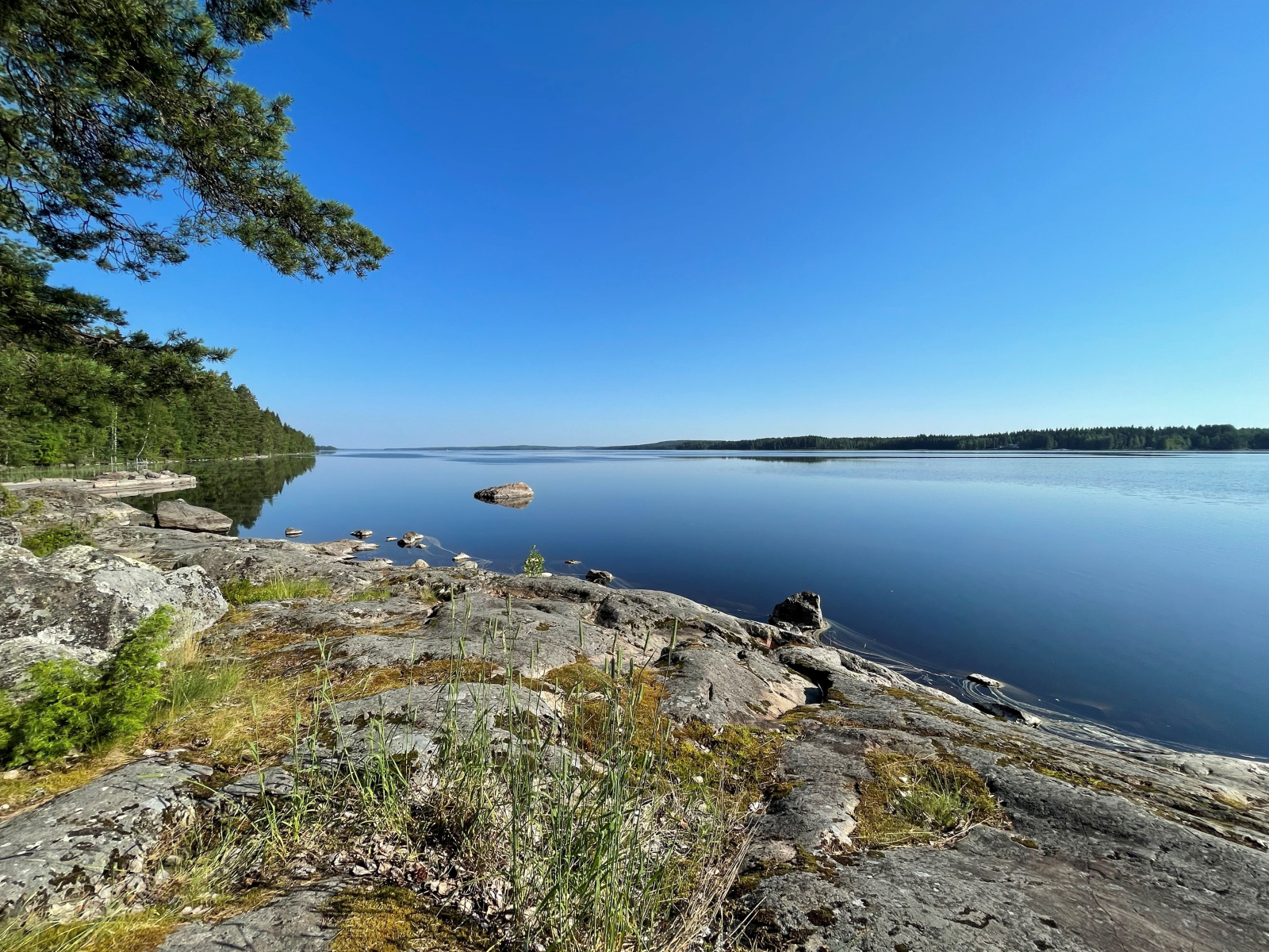
The view from Kutukiemura
The Virrat harbour and lakeside park are located on the shore of Kalettomanlahti. The harbour has a child-friendly beach with diving towers, a lush lakeside park and a guest marina with services. During the summer, restaurant and the lakeside terrace Baarpuuri offers restaurant services as well as bicycle, tennis court and SUP board rentals. There are also padel courts and a beach volleyball court in the area. In addition, there is a sports park next to the lakeside park, where you can practise many different sports. The area includes a disc golf course, a pump track and a technical track for mountain biking.
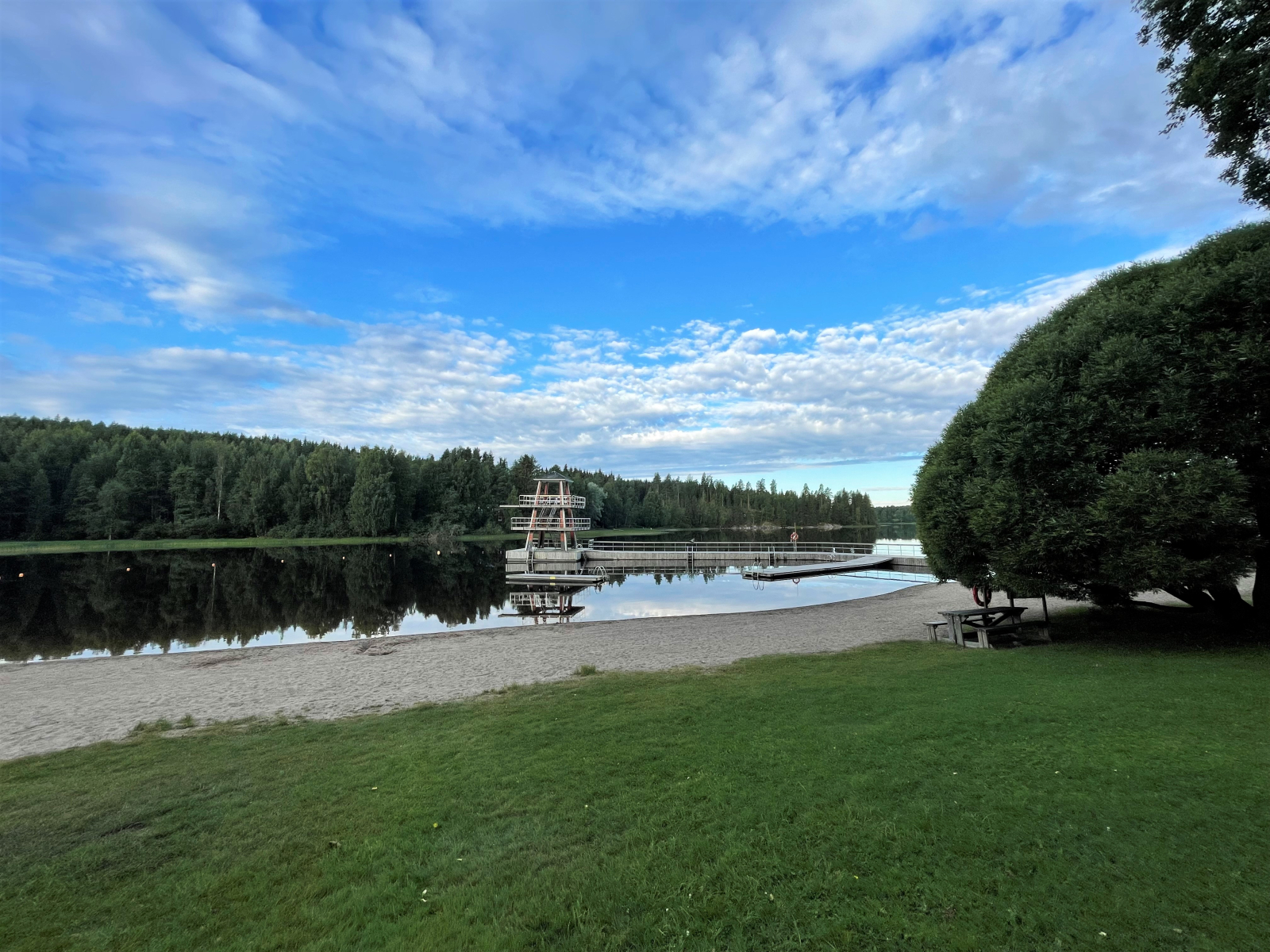
In winter, an ice road to Härköskylä starts from the Tarjanne pier. In addition, the beach has a winter swimming facility run by the hikers’ club Virtain vaeltajat.
In summer, the fitness trails of the Pukkivuori area are used for hiking and disc golf. Pukkivuori Disc Golf Park is an 18-hole disc golf course, which runs over varied terrain, partly on a ski slope. In winter, the area has a network of cross-country ski trails of about 8 km, most of which are illuminated. The slopes of Pukkivuori are actively used by skiers in winter. The Pukkivuori hill can also be climbed via the 125-metre fitness stairs. From the top, you can admire the townscape that opens up.
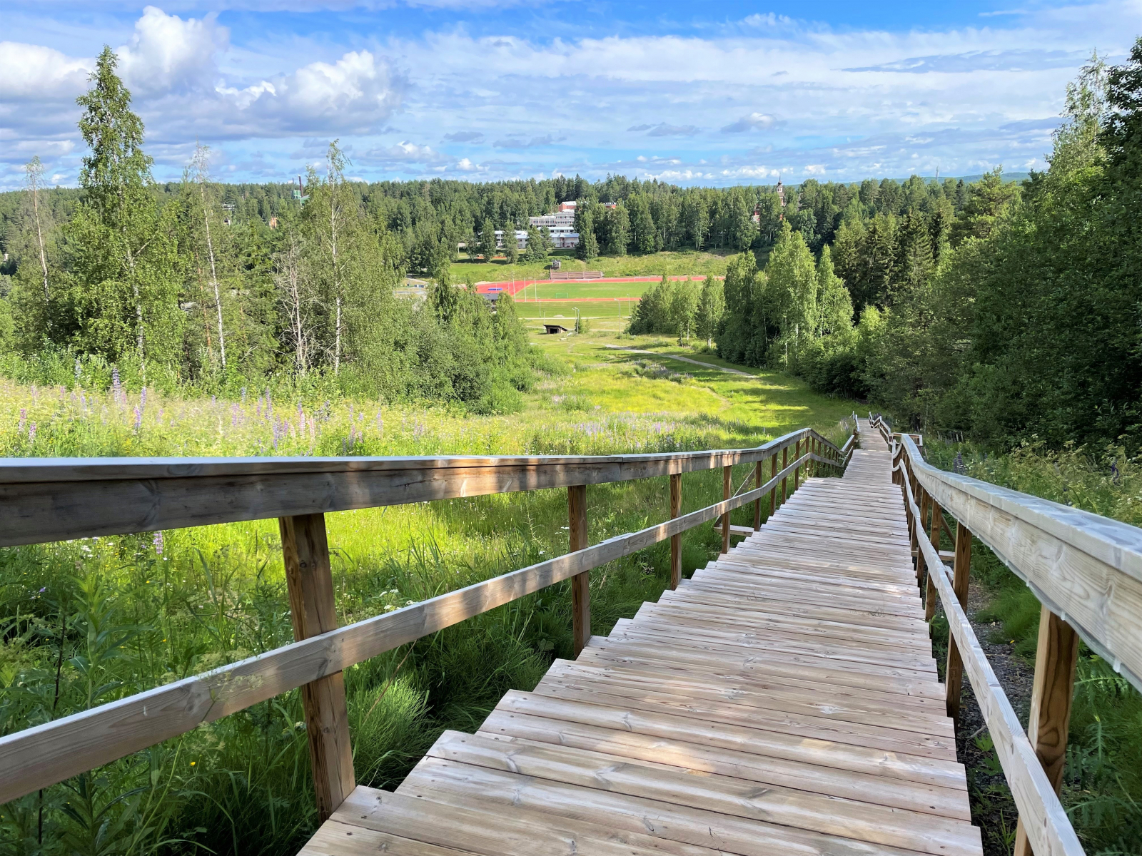
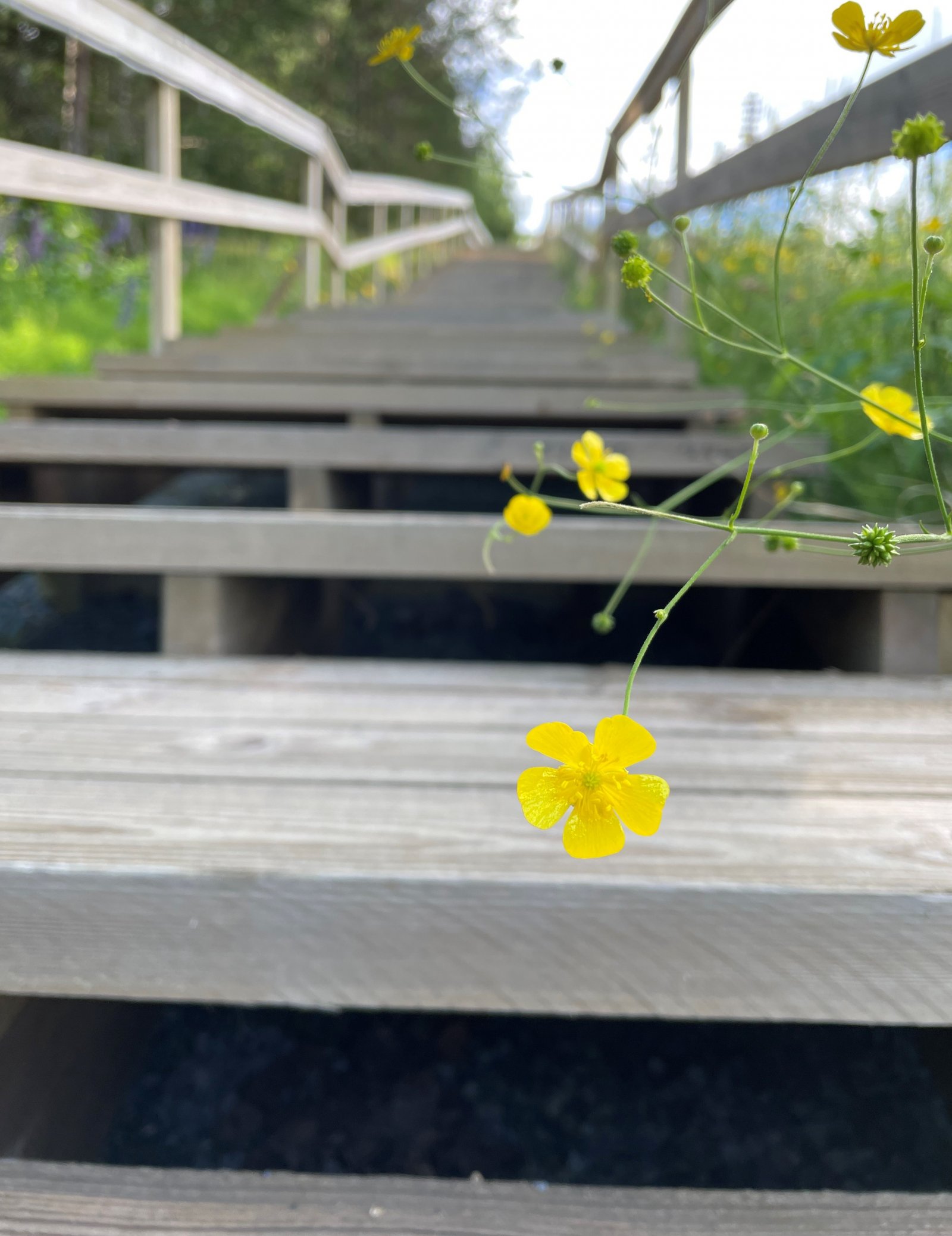
Landscape from the fitness stairs
Pukkivuori Bike Park, with five downhill trails, is also located on the Pukkivuori ski slope. The Bike Park is operational when there is no snow on the ground. Pukkivuori is connected to the Virrat Sports Park, which has an outdoor gym, a pump track, a sports field, a street basketball court and a technical track for mountain biking. There are also toilet and shower facilities in the maintenance building on the edge of the sports field.
Maps of the managed fitness track network can be found online. The route runs through the hilly terrain of Penkkivuori and Pukkivuori. At the southern end of the cross-country trails, on the shore of Lake Löyttyjärvi, you will find the Löytty lean-to shelter, where you can take a picnic break
Rajaniemi
Rajaniemi is a beautiful old parsonage on the shores of Lake Siekkisjärvi. Construction of the house began in 1896, when a decision was made to open a second pastorate in Virrat after the election of the vicar. For the pastor, the Rajaniemi and Rantapappila farmhouses were considered as a home. The committee carefully estimated the costs and finally came to the conclusion that Rajaniemi would be built as a second vicarage. Rajaniemi was a much quieter place to live and would be less expensive, according to the committee. The contractor for the project was Matti Mäkinen.
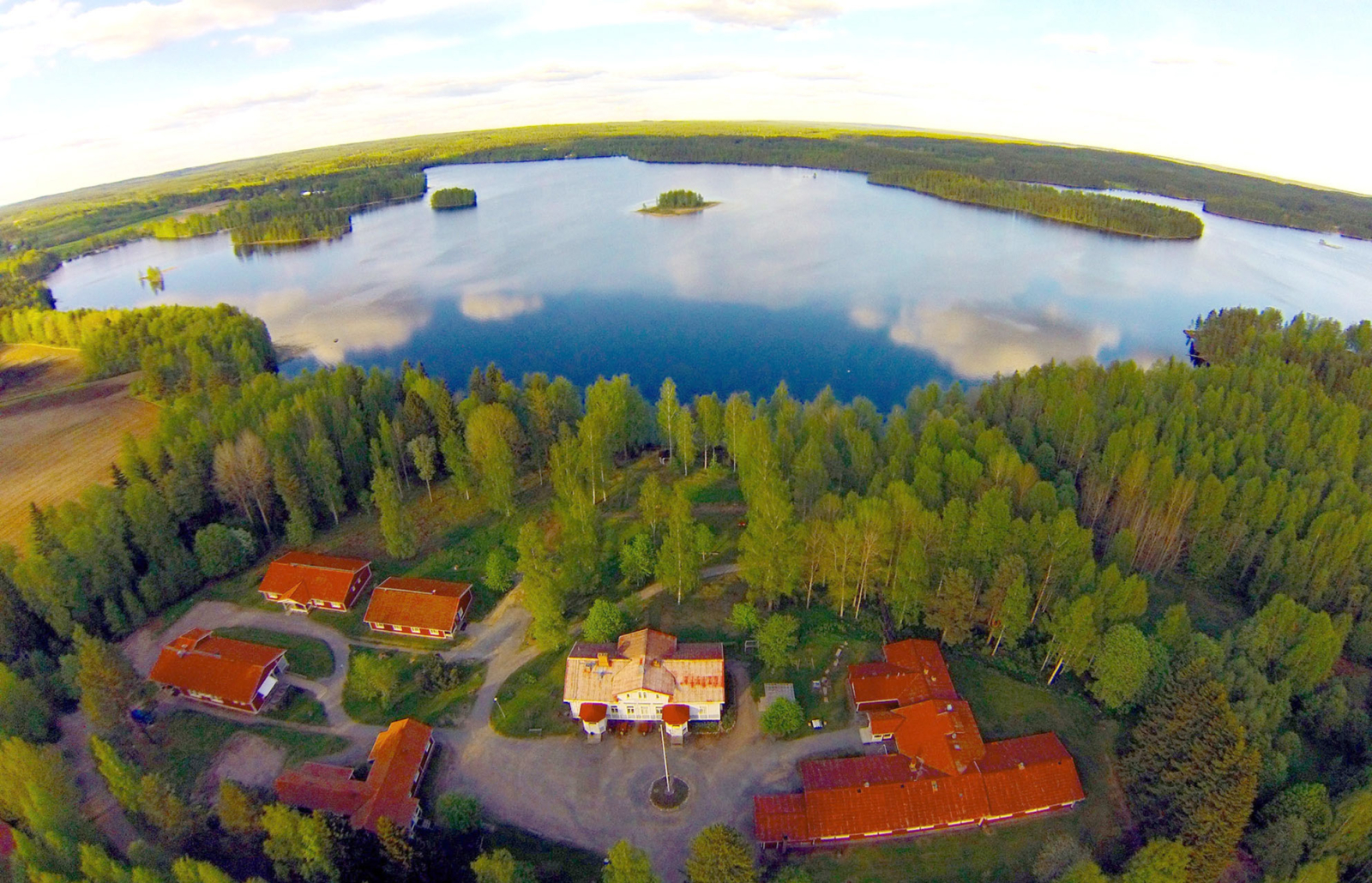 Rajaniemi
Rajaniemi, the vicar’s official residence, was completed in 1900. Matti Mäkinen received a lot of praise for a job well done. In reality, he lost out on his contract because the church chose to pay only part of his additional claim during the construction phase.
In 1961, the parish of Virrat sold the parsonage to the Finnish Tuberculosis Association. Rajaniemi became a summer colony for children from poor families with tuberculosis. Later, as medical science improved, tuberculosis declined, reducing the use of Rajaniemi. The building became dilapidated.
In 1974, the Tuberculosis Association sold the parsonage to the Central Association of Finnish Pensioners, which still owns the building today. The new owner thoroughly renovated Rajaniemi, while preserving the building's original appearance. The holiday and training centre began operations in Rajaniemi in 1976.
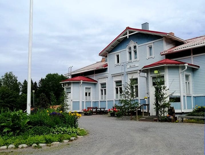
Rajaniemi
There are plenty of smaller trails suitable for mountain biking on the Puttosharju ridge and the surrounding terrain. The ridge area is actively used for outdoor recreation. Puttosharju was formed at the end of the last ice age, at the bottom of a river that flowed within a melting glacier. There were glacial rivers running inside the glacier, with the flowing water carrying a variety of soil materials. At the mouth of the glacier river, the soil materials sank to the bottom and began to form long ridges as the glacier retreated.
Puttosharju is an important groundwater basin. Groundwater from the ridge area is used as domestic water in Virrat. Groundwater is water that is absorbed into the soil from rain and melting snow. On ridges, these pass through a thick layer of gravel, which filters them very efficiently.
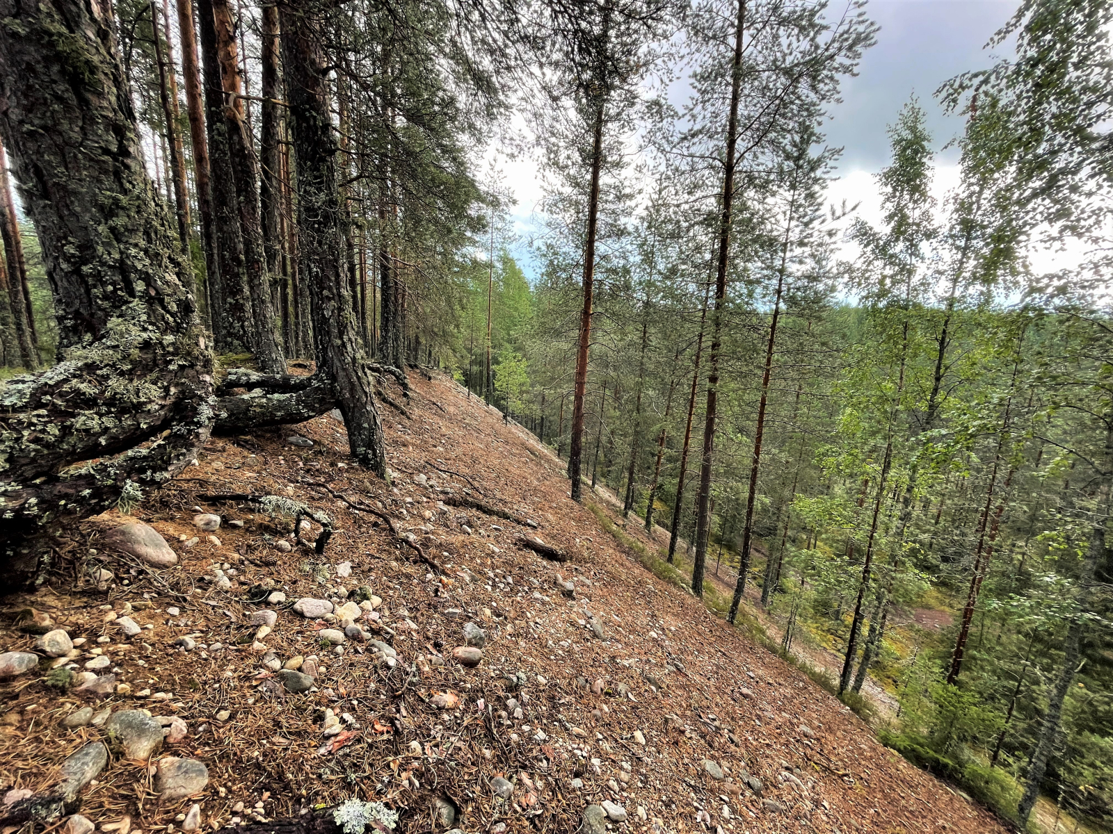
The ridge formation is clearly visible in nature
A lot of gravel was taken from the ridge from 1937 to 38 for the construction of the Haapamäki-Pori railway line.
The ridge forest is partly lush woodland, which is typical on the fine weathering material of the ridge slopes. For the most part, however, the Puttosharju forest is more conventional, recreationally-managed peaty forest. The ridge area is also home to the protected lesser butterfly-orchid (Platanthera bifolia) and the endangered mountain everlasting (Antennaria dioica). From the top of Puttosharju, there is a splendid view towards the north.
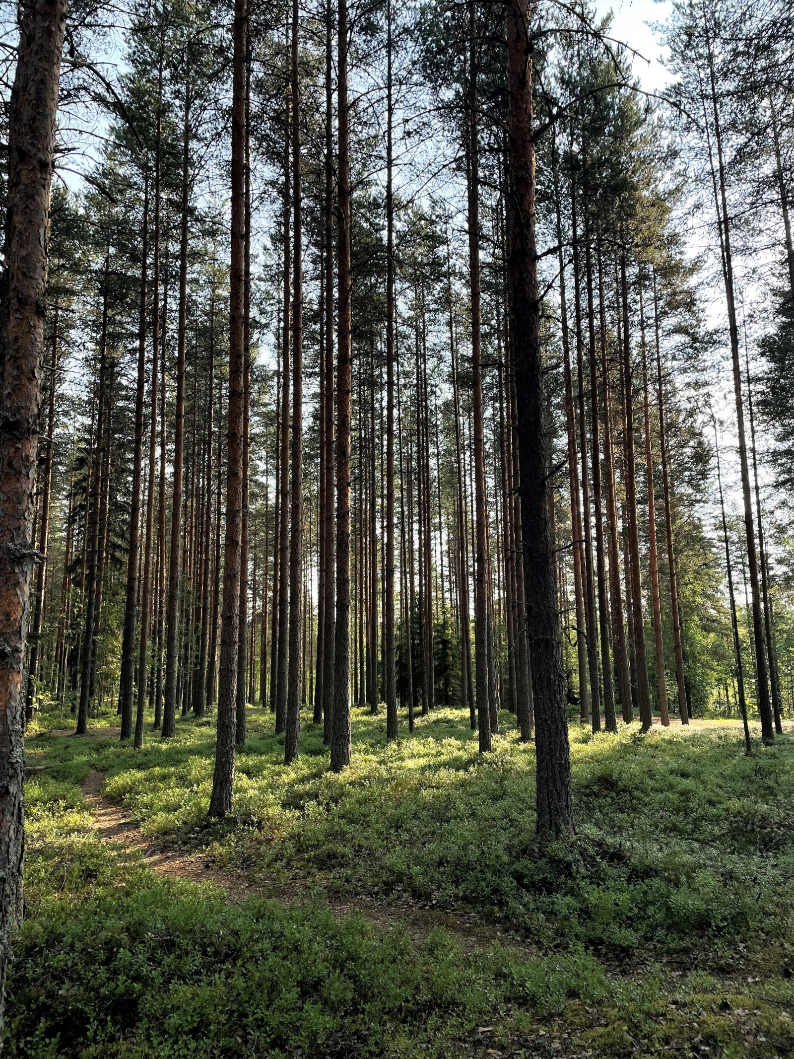
Several jogging paths cross the Puttosharju ridge
The Herraskoski lock canal, located right next to the Virrat Heritage Village, connects the Iso-Tarjanne waterway (Vaskivesi) to Lake Toisvesi. Built between 1903 and 1907, the canal is 825 metres long. The canal is lined with handsome rows of Siberian fir trees. The canal and its surroundings represent the national romantic style. The area has been preserved in almost its original state. The canal is a self-service canal.
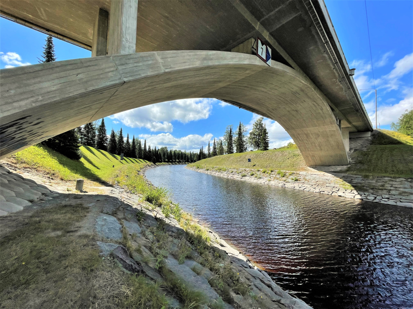
The bridge over the Herraskoski Canal and the rows of Siberian fir trees
The Marttinen island includes some fairly old forest with many of the characteristics of a forest in its natural state. Herraskylä also has a bird tower overlooking the open water. Especially during the migration season, it is possible to observe many resting and passing birds.
The Marttinen island is home to five fortification areas dating back to the First World War. The fortifications include trenches, a restored dugout and a cannon. The equipment dates from 1916 to 1917. The fortresses are part of a chain of fortifications from the capital region to Virrat and continues from there towards Kuopio.
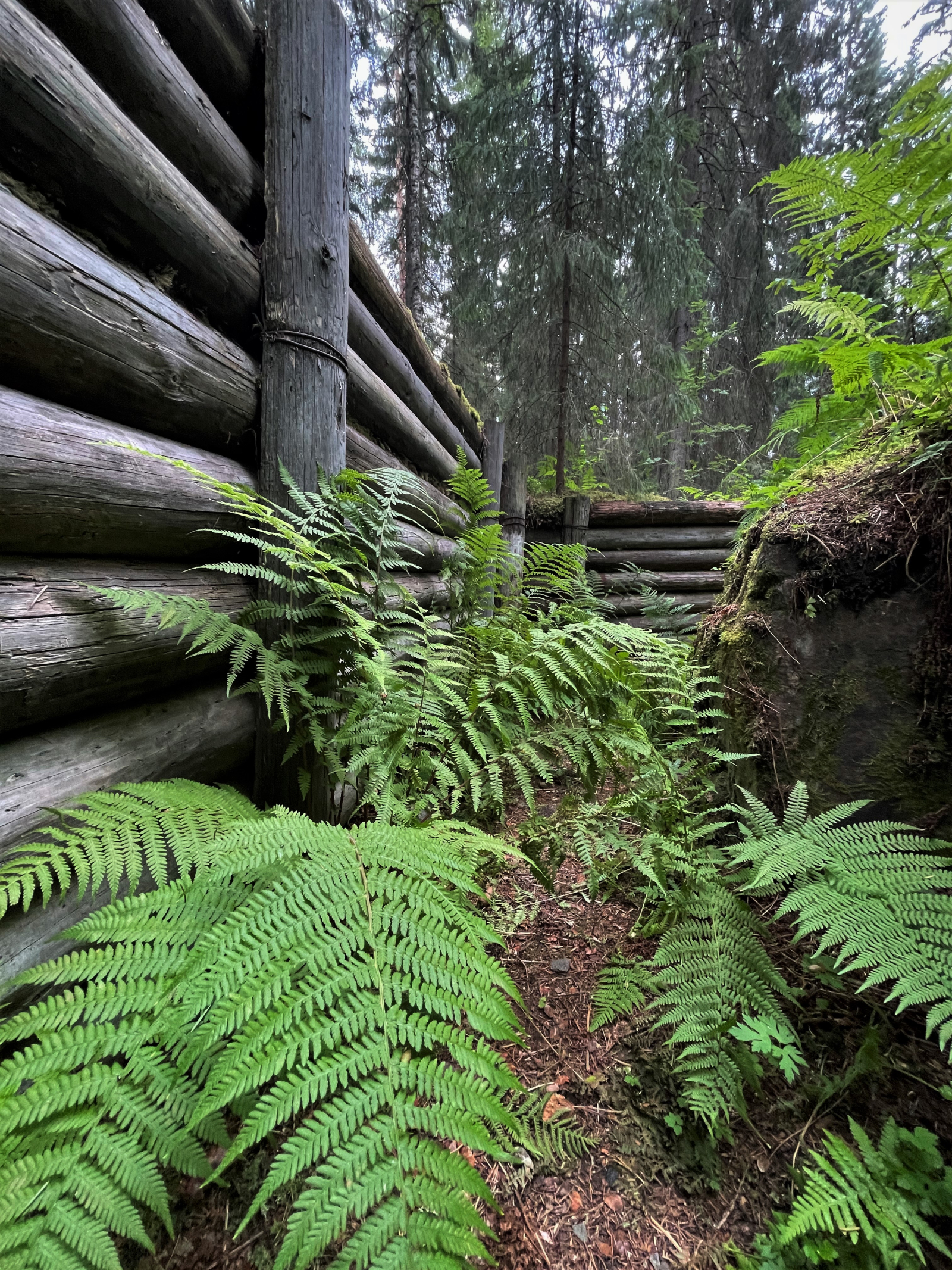
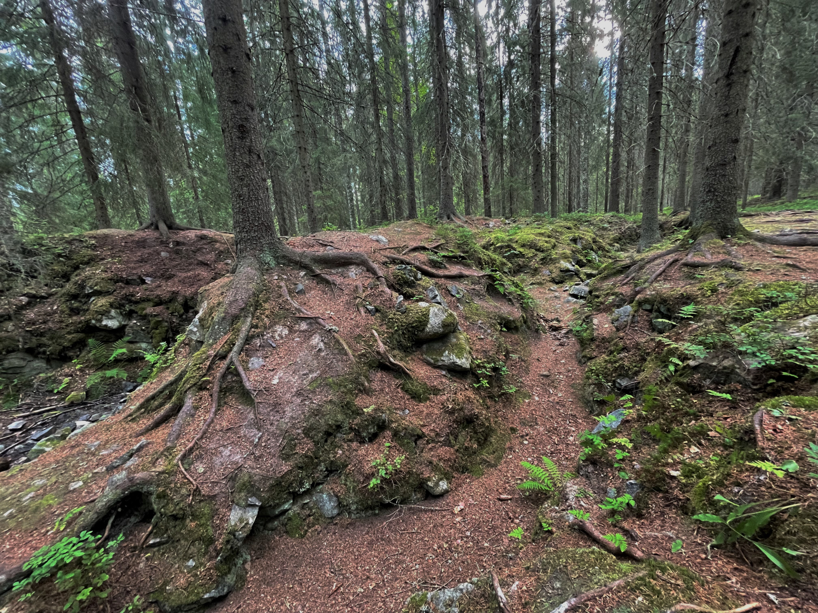
Trench network in Marttinen


![Logo [Virtain kaupunki]](client/virrat/images/logo.png)


